by Frank Schroth
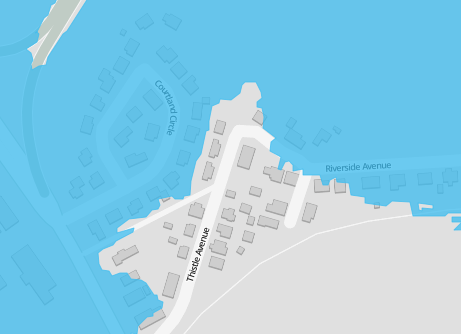
WGBH has created an online mapping tool to illustrate how rising waters could flood Boston. The map is based on a report from the Boston Harbor Association. These rising waters could be caused by a “rising sea level, storm surges, astronomical high tides or other causes.” The Courtland/Thistle Avenue area would be affected by a rise of 7.5′. You can find the interactive map here and a companion article here.
